


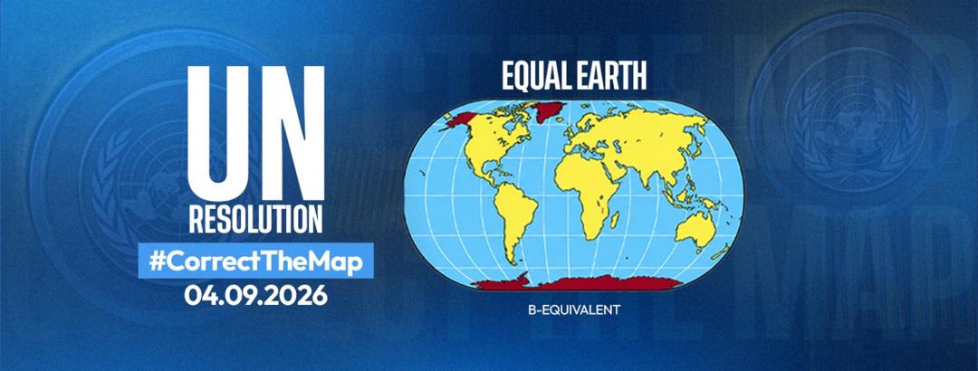
The three cartographers who developed the Equal Earth map projection have agreed to provide scientific and technical support to Togo and the African Union in implementing the United Nations General Assembly’s “Correct the Map” resolution.
Tom Patterson, Bernhard Jenny and Bojan Šavrič committed during a virtual meeting on September 20, 2026, initiated by Togo’s Foreign Affairs Minister, Professor Robert Dussey, who championed the resolution at the UN General Assembly on behalf of the African Union.
The resolution, A/RES/80/307, was adopted on September 4 with 164 votes and calls for greater use of equal-area map projections when representing the relative size of countries and continents.
The cooperation will focus on providing scientific and technical support to states and institutions adopting equal-area projections, developing freely accessible reference maps and producing educational materials for African schools.
Dussey thanked the three cartographers for developing Equal Earth in 2018, noting that a project originally conceived without a political objective had since become an important reference for the African Union’s effort to change how the world is represented on maps.
“A fair map does not change geography: it changes the way we look at the world. Cognitive justice begins there, with the way children learn to situate their continent,” Dussey said.
He added that the scientists had provided Africa with a tool that could now be placed “at the service of our schools.”
Scientific advisory group proposed
Togo and the Equal Earth designers also agreed to continue discussions through a more structured framework.
Togo is expected to present a concept note in the coming weeks proposing the establishment of a scientific advisory group to support implementation of the UN resolution. Patterson, Jenny and Šavrič have been invited to join the proposed group in their personal capacities.
Equal Earth was designed to represent the relative land areas of continents more accurately while limiting distortion of their overall shapes. The projection was published in August 2018 in the International Journal of Geographical Information Science.
The projection has since been used by NASA’s Goddard Institute for Space Studies and incorporated into Esri software. The African Union later adopted Equal Earth as its institutional cartographic reference through decision Assembly/AU/Dec.959 (XXXIX).
The “Correct the Map” resolution builds on that scientific foundation by encouraging governments, schools, international organisations, media organisations and technology companies to use equal-area projections where the relative size of territories is being represented.
The initiative places cartography — the science of making and using maps — at the centre of a wider debate over how geographical information is presented and understood.
Science, in this case, is being asked to correct more than a map: it is being asked to correct what generations have been taught to see.