


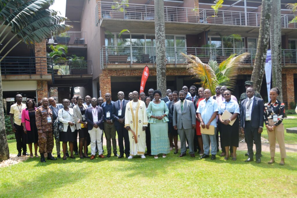
Makerere University, through the Department of Geomatics and Land Management at the College of Engineering, Design, Art and Technology (CEDAT), hosted a milestone event — the Joint 8th Advances in Geomatics Research Conference (AGRC) and 14th Eastern Africa Land Administration Network (EALAN) Conference 2025 — from July 31st to August 1st at Kabira Country Club in Kampala.
Held under the theme “Geo-Enablement for Sustainable Development: Harnessing Innovation in Geomatics and Land Administration,” the event brought together land professionals, researchers, technologists, policymakers, and development partners from across Africa and beyond. The conference provided a powerful platform to explore how spatial technologies can shape equitable, resilient, and sustainable land governance systems for the region.
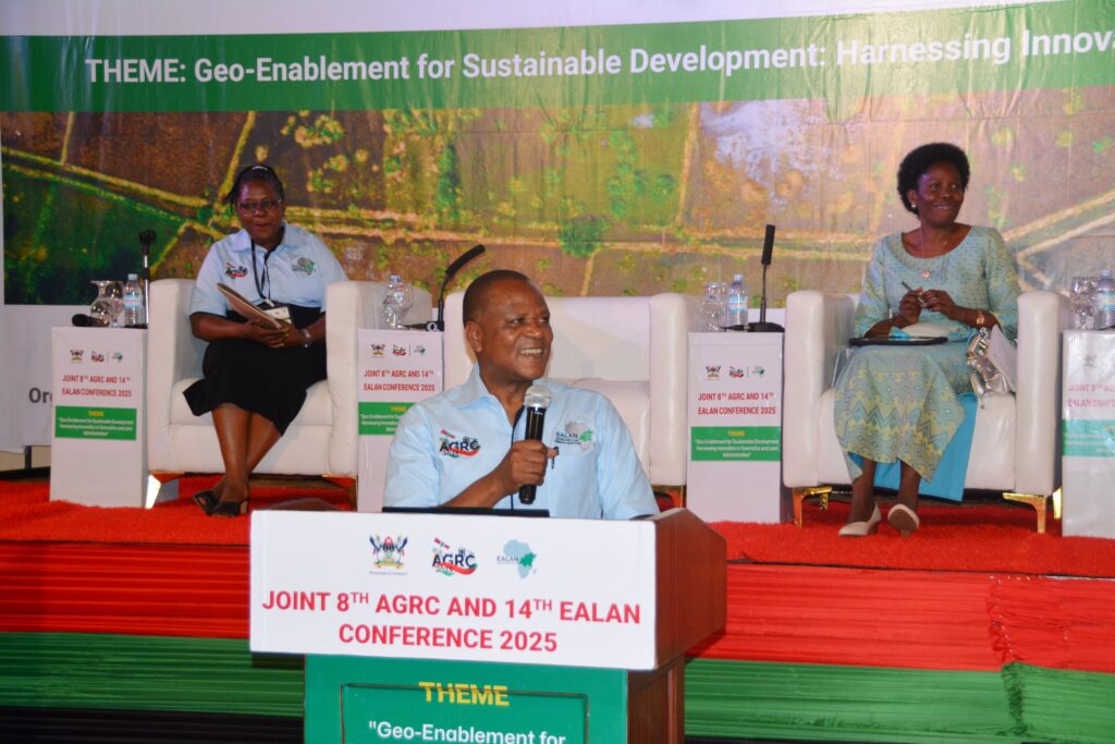
The Minister for Lands, Housing and Urban Development, Hon. Judith Nabakooba, officially opened the conference with a message reaffirming the government’s commitment to science-based policy:
“This conference is going to refine policy, research and innovative ways of handling land-related matters. For us in government, we are waiting for the outcomes — to see how we move forward and shape the land administration landscape.”
In her keynote address, the Minister stressed the importance of accurate geospatial data, land tenure security, and the ongoing digital transformation of land administration services in Uganda.
She highlighted initiatives such as the expansion of the National Land Information System, the introduction of blockchain technologies to boost transparency, and Uganda’s integration into the global satellite navigation system with five operational reference stations.
“Land is not just a physical resource. It is the bedrock of livelihoods, peace, investment, and national development. But to unlock its full potential, we must address outdated data systems, weak institutions, and long-standing land tenure challenges,” she said.
Makerere: A Beacon of Research and Innovation in Geomatics
Representing the Vice Chancellor, Associate Professor Robert Wamala of the School of Statistics and Planning noted that the conference underlines Makerere University’s longstanding commitment to research-driven development.
“Technologies such as drones, AI, and advanced spatial data systems are revolutionizing how we collect, analyze, and use geographic information. These innovations are powerful catalysts for development, helping us address land conflicts, climate risks, and urban expansion,” Wamala said.
He emphasized that the university’s programs in geomatics and land management have trained professionals contributing to spatial data infrastructure and land administration across East Africa and beyond, directly aligning with Uganda’s Vision 2040 and Makerere’s own Agenda 2025.
Call for Regional Collaboration and Inclusive Innovation
Dr. Upendo Matotola, Director of Real Estate at Tanzania’s Ministry of Lands, Housing and Human Settlements Development, called for sustained financing to support innovations in land governance.
She reminded the audience that land is not just about economics but also identity, heritage, and power — and that innovation must span beyond technology to include legal reform and community engagement.
“Innovation is not just about tools; it’s about systems and people. We need solutions that empower citizens and modernize land governance for everyone,” she said.
Innovation Must Align with the SDGs
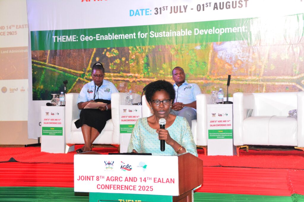
Dr. Lydia Mazzi Kayondo, Head of Makerere’s Department of Geomatics and Land Management and Chair of the Local Organising Committee, welcomed delegates to the conference and shared the vision that led to its creation.
“This conference brings together professionals, educators, researchers, and innovators to reflect on how geomatics and land administration can better contribute to the Sustainable Development Goals. It’s about creating practical, data-driven solutions that address real challenges like climate resilience, food security, and urban planning,” she said.
She encouraged participants to use the conference as a platform to foster collaboration and co-create innovations that are inclusive and scalable across the region.
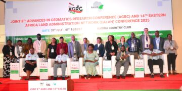
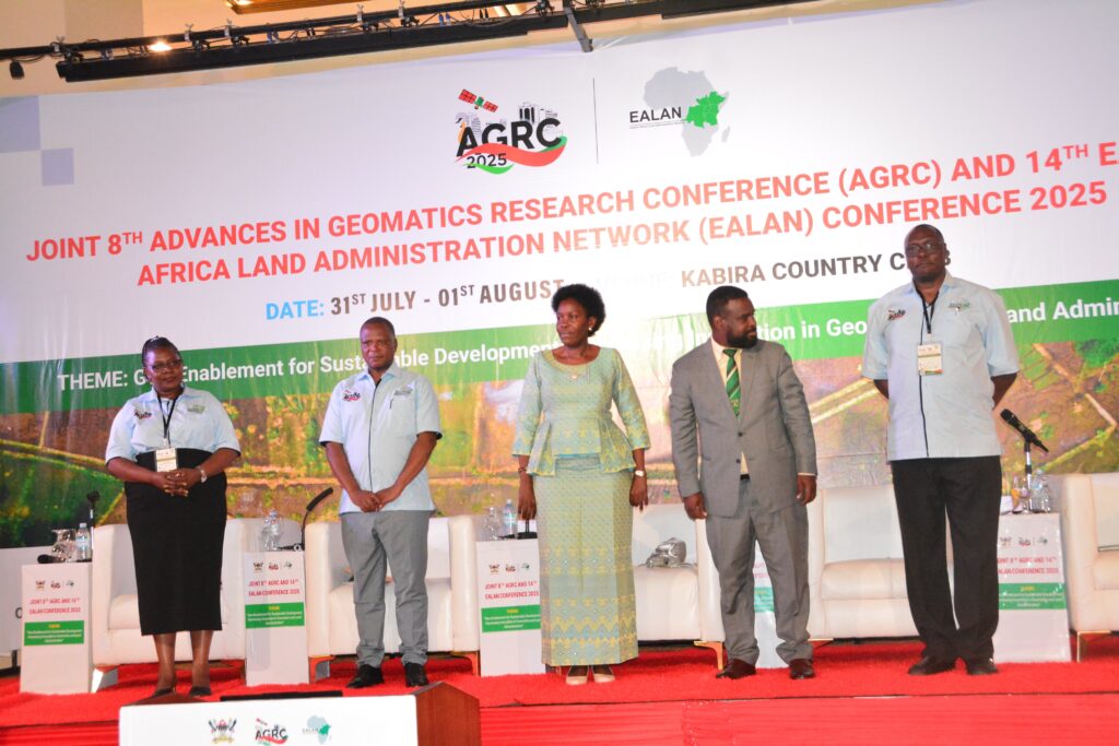
With over 200 delegates in attendance — including representatives from academic institutions, government agencies, private sector, and international partners — the conference marked a pivotal moment for regional dialogue on land governance, spatial science, and technological innovation.
The event also celebrated the election of Associate Professor Anthony Gidudu as the new Dean of the School of the Built Environment, a position that will play a key role in shaping the future of geomatics education and research at Makerere.