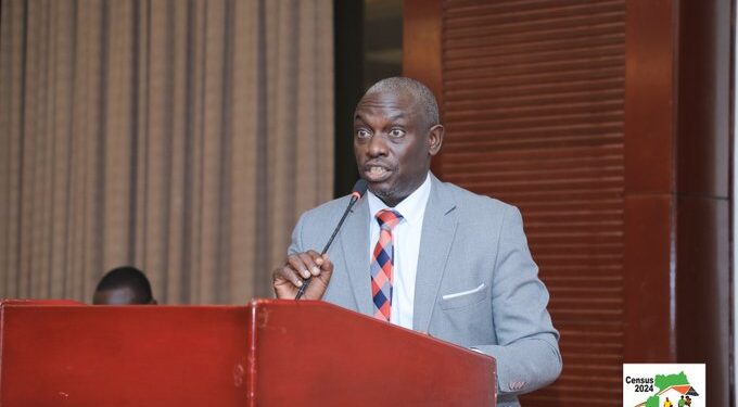
Future statisticians must embrace the Geographic Information System (GIS), says Dr Vincent Fred Ssenono, the acting Deputy Executive Director of the Uganda Bureau of Statistics (UBOS).
A Geographic Information System (GIS) is a computer system that analyses and displays geographically referenced information. It uses data that is attached to a unique location.
Dr Ssenono said data is now geo-referenced and special skills are required to utilise this data to tell stories.
The GIS Day celebration was officially opened by James Muwonge, UBOS Director of Methodology and Statistical Coordination Services on behalf of the UBOS Executive Director, Dr Chris N Mukiza, at Statistics House on Wednesday, November 20, 2024.
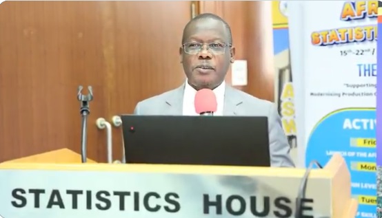
Themed “Mapping Minds, Shaping the World”, the event aimed to raise awareness about the power of GIS tools and applications in transforming our understanding.
According to Muwonge, the Bureau embraced the power of GIS, in line with the Bureau mandate. “GIS has greatly been used during Censuses and surveys and this is exemplified with the Census Mapping exercise and various maps that have been generated. Georeferencing was also done in the course of mapping.”
Isaac Akeraganisa, a GIS officer at UBOS, presented the mapping journey for UBOS from the analogue mapping for the 2002 census to the hybrid mapping for the 2014 census, and the digital mapping for the 2024 census.
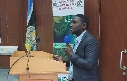
“Analogue mapping relied on topographic maps and tally counting of households. Hybrid mapping integrated both analogue and digital techniques,” he said, adding: “Digital mapping employed satellite imagery and geo-referencing of households.”
He presented the GIS maps for the key education indicators and called on participants to embrace the modernisation of the GIS. He appreciated the role of different stakeholders while undertaking the census mapping minds shapes the world with a fit for purpose statistics.
Flavia Zabali Musisi who heads the GIS Section in Kampala Capital City Authority (KCCA) pinned the mess in the city on poor physical planning.
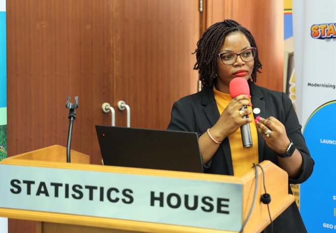
“The illegal developments in the city cause the city disorder, an app has been developed to track them and we have so far trapped 449 illegal structures,” she said, adding that the App might reduce corruption by the structure owners since it captures an entire area.
“The sprouting of illegal structures is at times attributed to delays in permit approvals, causing people to start construction as they wait for the official permission.”
As a physical planner, Musisi urged illegal land developers to formalise project developments before tough measures are undertaken and emphasised the importance of a comprehensive physical plan for Kampala’s future development. During her GIS Day presentation at Statistics House, she sensitised participants about the public reporting of illegal construction platforms on the KCCA website.
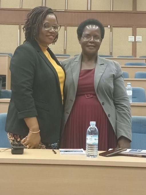
“Let’s map these structures for a better Kampala. We cannot have the city we imagine without a physical plan,” she added.
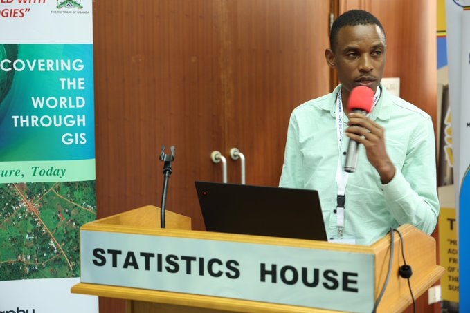
Geoffrey Kateregga from the Humanitarian OpenStreetMap Team (HOT) said field mapping of slums is very challenging but gave insights on how to manage it.
According to him, open mapping using ‘Drone Imagery’ is the ideal approach as it gives an aerial view which helps avert unit overlaps.
“A big part of the world is not mapped, so apps to detect buildings at a local level have been developed using the OpenStreetMap, a free editable map of the world that makes map data openly available. Field mapping tasking manager helps give an end-to-end solution that slum communities can use to put themselves on the map using their smartphones,” noted Kateregga.
Key Takeaways
Rachel Twesige Kirungi, a Geo journalist: “We can make the change we want to see through localising the use of GIS and disseminating informative maps to the decision makers.”
Dr. Beatrice Winnie Nyemera, a Principal GIS officer: “Move with the evolution of the GIS technology so that the world changes”.
Emma Prince Nobel Engunyu, GIS officer at National Planning Authority (NPA): “Let’s harness the science of where to transform the country.”
Kizza James, Director of Information Technology at UBOS: “GIS is not just a tool but a way of thinking about data with a spatial lens.”
Geoffrey Kateregga from the Humanitarian OpenStreetMap Team: “Let’s embrace open Geospatial tools and open mappings to unleash the power of GIS.”
Flavia Zabali Musisi, KCCA Physical Planner: “If you can imagine it, you can map it.”
