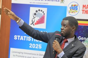


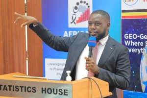
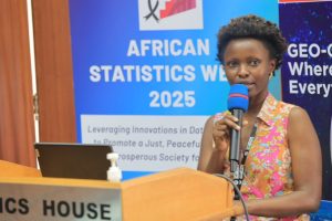
Uganda joined the rest of the world in commemorating Geographic Information Systems (GIS) Day 2025, with experts, government agencies and innovators underscoring the critical role of geospatial technologies in climate action, urban planning, emergency response and national development.
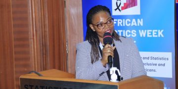
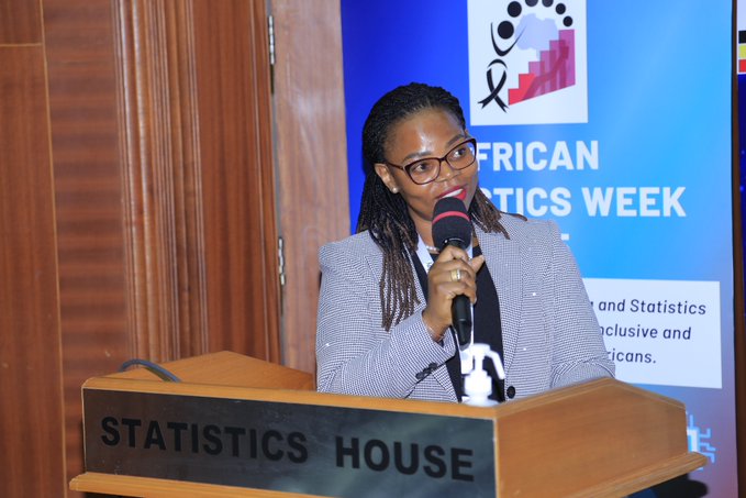
Speaking on behalf of the UBOS Executive Director, Ms Hellen Nviiri noted that digital mapping tools have transformed the way the country gathers and manages data. “GIS digital systems have made data collection easy through digital maps,” she said, emphasising the technology’s expanding role in national statistics and evidence-based planning.
Delivering the keynote address, Mrs Flavia Zabali Musisi from Kampala Capital City Authority (KCCA) emphasised the centrality of location data across all sectors. “We must answer the ‘WHERE’ question in every divide, for it is the source of all solutions,” she said. “It can only be addressed through GIS and spatial technologies.”
She revealed that KCCA’s adoption of GIS for mapping taxable properties—using satellite imagery and zoning plans—has boosted revenue collection dramatically. “Our collections jumped from UGX 17 billion to UGX 64 billion in just eight years,” she said, noting that spatial tools had also been instrumental in tracking COVID-19 cases and saving lives.

From the Ministry of Water and Environment, Mr Derrick Rukundo highlighted the growing link between geospatial data and global climate financing mechanisms. “In modern climate financing, spatial data is the currency,” he asserted. “Every tonne of CO₂e claimed must be tied to a geo-location. No country can receive a dollar of climate finance without spatial proof.”
Researchers and innovators also used the platform to showcase how GIS and artificial intelligence are reshaping environmental sustainability.
Presenting on smart and sustainable cities, Ms Immaculate Asiimwe, a member of Women in GIS Uganda, pointed to the mounting global waste crisis. “The world generates 2.01 billion tonnes of municipal solid waste every year. Only 9% is recycled,” she said. “We are 91% away from attaining a circular economy.”
Community environmental activist Ms Twesige Racheal Kirungi shared how visual mapping is helping citizens demand better waste management. Through digital maps, she said, communities can “raise alarm over waste mismanagement” and report cases more effectively, contributing to improved accountability from local authorities.
Deforestation was another major concern. Over 2.4 million hectares of Uganda’s forest cover have been lost in the past 25 years—an average of 90,000 hectares annually.
Ms Aminah Mayole of Aqua Wood demonstrated a new deforestation tracker integrated into the Aquawood App. She explained that the system provides “automated detection and deforestation alerts using advanced satellite imaging,” helping counter illegal logging and monitor forest restoration efforts.
In agriculture, GIS and machine learning are proving equally transformative. Ms Tasia Lydia, a geospatial data analyst with One Acre Fund, noted that these tools can now predict crop yields with striking accuracy.
Using satellite data, she said, One Acre Fund can “identify farmers likely to record low yields,” enabling proper compensation planning and targeted support.
The Uganda Red Cross Society also highlighted its growing reliance on GIS tools. According to URCS representative Joel Kitutu, drones and real-time spatial data help the agency prepare for and respond to disasters in high-risk areas.